By taking aerial photographs and Photogrammetry software using drones, researchers are able to generate the highly detailed 3D model of the urban environment which will help to set up 5G wireless connection in a cost effective manner.
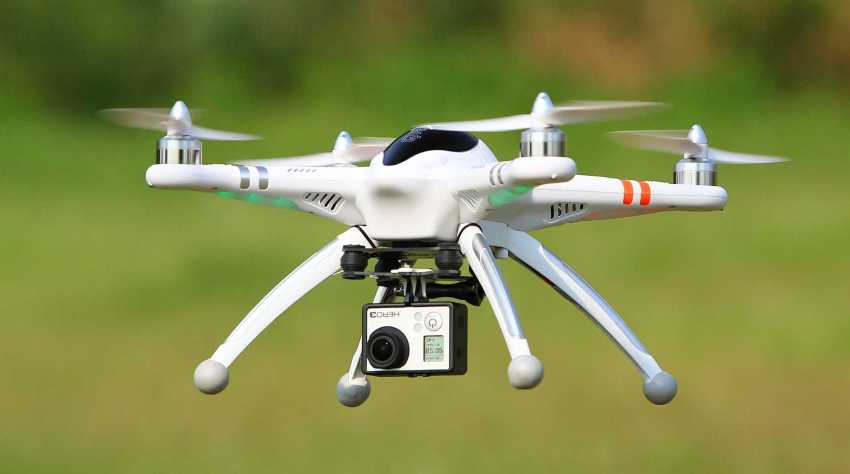
The evaluation of mobile devices has set increasingly high demands for wireless network and the consumption of radio frequencies. Researcher Vasilii Semkin together with a research group at the Tampere University of Technology and Alto University in Finland currently tested their research work by taking aerial photographs using drones which are used in designing radio links.
The Photogrammetry uses the measurement from photographs for getting the exact position of surface points. It is also used to analyze the motion pathways of designated reference points on any moving body and record complex 2D and 3D motion field.
Researchers compared the easy modeling technique that is currently popular to their Photogrammetry-based modeling technique. “The measurements and simulations, we performed in urban environments show that highly accurate 3D models can be beneficial for network planning at millimeter wave frequencies”, a researcher claimed.
“With the technique used by us, the resulting 3D model of the environment is much more detailed, and the technique also makes it possible to carry out the design process in a more cost-efficient way. It is then easier for designers to decide which objects in the environment to be taken into account, and where the base stations should be placed to get the optimum coverage,” Semkin told.
In the future, it will be possible to utilize the technique in designing 5G wireless connections, among other things.
Drones may Help to Set up the Wireless Network in the Future