Providing consultancy and value Added Services using Remote Sensing, Photogrammetry and LiDAR in areas such as Agriculture, Forestry, Telecom, Urban Mapping, Sustainable Development, Mineral Exploration and Mining, Hazard Zonation & Mapping, Environment, Defence and Geo-Marketing etc, Excel Geomatics is the best solution for those who are in search of excellence.
Post Graduate professional staffs of Excel Geomatics with educational background like geology, geography, environment, life sciences and forestry, combined with experience of working on numerous projects in their past jobs enable the company to take up projects in different domains and deliver it successfully.
In the past 6 years Excel Geomatics has acquired clients in 16 countries and has done project in all the domains.
Wide Range of Solutions offered Solely by Excel Geomatics
Excel Geomatics provides Consultancy and Services in more than 12 domains. In India, no other company of this size is currently providing such a wide range of Consultancy and Services in these many domains. An ISMS certified Consultancy Company, Excel Geomatics specializes in the exploitation of Earth Observation Data and delivering geographic information solutions to private and public organizations worldwide.
Excel Geomatics provide Consultancy and Value Added Services in the fastest-growing technology sectors using the tools and techniques such as Satellite Remote Sensing, LiDAR, Photogrammetry, GIS, and Survey (Ground and Airborne), that can help clients to address problems and opportunities in concern areas.
Duo behind the Successful Venture
There are two growth enablers behind Excel Geomatics, who are working hard to take it towards the glorious future ahead.
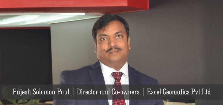
Rajesh Solomon Paul, Director and Co-owner of Excel Geomatics is one of the hardworking duos of the company. Rajesh is having 20 years of experience in the geo-spatial industry. He is currently leading Excel Geomatics to emerge as a reliable Consultant and Value Added Service provider based on geo-spatial technologies.
A Ph.D. Degree holder in Ground Water Potential Mapping Using Remote Sensing and GIS, Rajesh has done Masters in Applied Geology.
Rajesh was University Topper both during his B.Sc. Geology (Honours) and M.Sc. (Applied Geology). He qualified ‘National Eligibility Test for Lecturer-ship in India and secured Research Fellowship by Council for Scientific and Industrial Research (CSIR), Ministry of HRD, Govt. of India’. He was also awarded ‘Research Fellowship by Defence Research & Development Organization, (DRDO), Ministry of Defence, Govt. of India’ where he got trained on various defence related projects. He also qualified the joint exam of Geologist and Hydro-geologist conducted by UPSC, Govt. of India.
Rajesh has worked-on and managed, hundreds of project related to telecom, agriculture, environment, forestry, geology, sustainable development, natural resource mapping, including mineral potential mapping, livelihood development, tourism, urban planning, watershed development, flood zone management, and Power sector etc.
His expertise lies in conceptualization & management of projects, which include processing of optical & radar satellite image, aerial photographs, stereo-pairs, LiDAR, hyper-spectral and thermal data for various applications and also preparation of related Reports.
Rajesh has provided consultancy on various international projects. He has been instrumental in Capacity Building of resources in various countries, including training on Erdas Imagine as International Trainer. He has also Co-guided dissertation work for the completion of M.Sc. and M.Sc. (Tech) degrees for more than 25 students.
Rajesh says, “In the current Indian scenario, GIS has already found its place in almost all the projects like Smart Cities, AMRUT Cities, Infrastructure Projects such Highways, Railways, Irrigation or Renewable Energy. The newer liberalized policy related to UAS (Unmanned Aerial Survey) has also eased and enhanced the applicability of GIS in different projects. The use of LiDAR technology has also increased much in the past 1-2 years.”
Divya Sarawat Paul, one of the Directors and co-owner of Excel Geomatics Pvt. Ltd. is the second most important persona of the company, who has more than 12 years of experience in research.
Qualified as an Environmental Biologist, Divya got engaged in Physiological research, and is currently pursuing her doctoral research from Delhi University.
Divya was University Topper in M.Sc. (Environmental Biology). She was awarded research Fellowship by Ministry of Health and Family Welfare, Govt. of India and also Defence Research and Development Organization, (DRDO), Ministry of Defence, and Govt. of India’
Divya had to forsake her career in research and become home-maker for the upbringing of her two lovely kids. Now since the children are little grown up, she is on-board as co-owner and Director of Excel Geomatics. Blessed with good financial visibility she takes care of the Finance and Administration of the company.
Heading Ahead with an Aim ‘To Be Ahead’
At Excel Geomatics, they have a mantra, ‘Keep yourself updated!’ Already tied up with many organisations to meet any possible challenges, be it in the field of Air Pollution Modelling, Modelling for Renewable Energy or Study or Biodervsity in any forest, Excel Geomatics is geared up for the challenges. Rajesh adds, “I feel this will keep us afloat in coming future.”
Rajesh thinks that the future of GIS solutions is very bright not only in India but world-wide. Newer platforms, newer sensors like hyperspectral-, lidar-, & thermal sensors, mobile applications, GIS web applications are the buzz in the town.
To cope up with these challenges and to provide world class quality data, Excel Geomatics has signed MoUs with many companies and research organizations worldwide and has also started developing in-house capabilities in these fields.